 Image 1 of 9
 Image 2 of 9
 Image 3 of 9
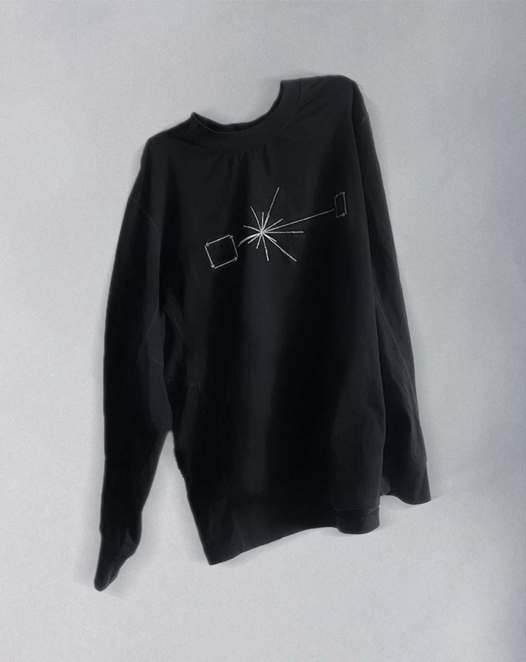 Image 4 of 9
 Image 5 of 9
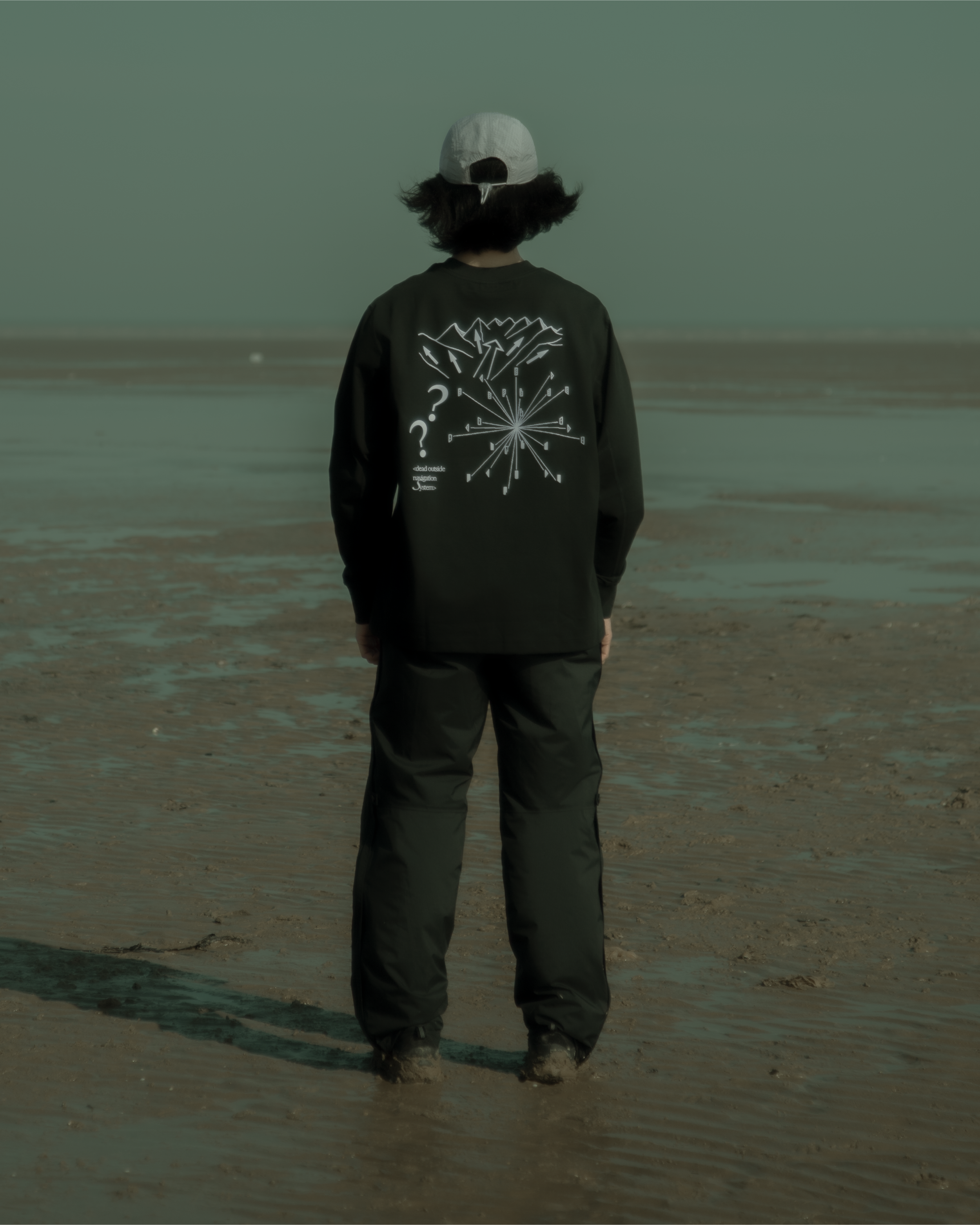 Image 6 of 9
 Image 7 of 9
 Image 8 of 9
 Image 9 of 9
Navigation Systems
When exploring the vast outdoors, it is essential to have some form of navigation system. For most, relying on a visual system such as a map is commonplace as it is one of the most effective ways of telling where you are and where you are headed. These maps can provide valuable information such as the topology of terrains and density of vegetation which can inform explorers on the challenge ahead and also key locations to identify when they are lost.
These days, such maps exist on mobile phones, watches and other pocket devices, making it extremely convenient to attain information on any given terrain at any time of the year. Not only that, it can help track your location and whereabouts and also send signals to nearby help centres.
Physical maps therefore get discarded. Thrown away for technology once again has triumphed.
But what happens when the juice runs dry on the device? Every device runs on a battery, meaning that it has a limited run time before its energy depletes, needing for a recharge. And what if you have no means of recharging it??? And that you are stranded in the wilderness, not knowing where you are and where you are headed anymore? That’s when you pull out the physical map. But then, you might have just discarded it because you never thought you’d end up in a situation like this. What does one do then? To navigate with nothing but yourself?
Sound Mapping as Navigation
Instead of solely depending on visual cues, sound mapping is a great way to help one identify the surroundings and potentially locate one’s whereabouts.
Sound Mapping is a technique used in the outdoors for people to identify the elements in their surroundings by listening actively to the sounds around them. Following which, writing the sounds they hear on a piece of paper with approximate distances and directions to where they are located from the listener. The map should then be filled with a 360 diagram with you, the listener in the middle, surrounded by the sounds you’ve just noted down. It paints a rough picture of your environment and it might just help you identify your next path.

Reconnect with Nature
Simply sit and close your eyes. Take a few deep breaths, clear your mind and pay attention to the sounds around you. What do you hear? Can you hear water running down the stream, the valleys whistling, birds chirping from a nearby forest, the leaves rustling from a nearby tree? Pay close attention, identify these sounds and which direction they are coming from. Is it coming from a nearby source, or is it far away. Is it muffled because its blocked by something or does it sound crystal clear because its near to where you are? Start writing them down, and you should end up with a sonic map of your environment.
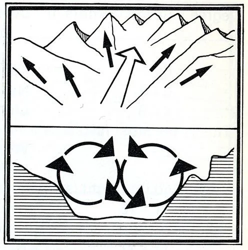
From there, you could draw patterns. Winds whistling and water on the left. Might just be a valley with water running downstream. The muffled calls of birds and animals calling on the right. that Could mean that a dense forest is nearby, or a creek leading up to a mountain range. the process of listening attentively gives you a rough image of what the landscape could be and therefore allows one to make a more informed decision.
the more sources of sound you can identify, the clearer the map becomes.
What do you do with your sonic map
all the information you’ve just collected is valuable! now its time to plan your next move. where are you headed? are you planning on heading deeper into the forest or are you finding a way out? the sonic map will be your guidance.